

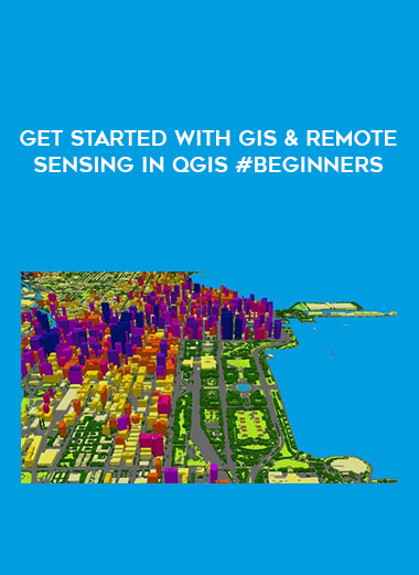
Get started with GIS & Remote Sensing in QGIS #Beginners
Salepage : Get started with GIS & Remote Sensing in QGIS #Beginners
Archive : Get started with GIS & Remote Sensing in QGIS #Beginners Digital Download
Delivery : Digital Download Immediately
This course introduces GIS (geographic information systems) and Remote Sensing for geographical analysis, with a focus on free open source software and free spatial data portals that give a way to get started with GIS, Remote Sensing, and spatial data analysis. This introductory spatial analysis course will provide you a quick knowledge of the GIS system and Remote Sensing. By the end of the course, you will have gained confidence and a thorough understanding of GIS and Remote Sensing technologies, as well as where to obtain GIS software geodata to create maps.
This course will teach students the fundamentals of GIS and remote sensing using open source and completely free software technologies. We will discuss how GIS and Remote Sensing may be applied in a variety of industries, including agriculture, geology, mining, hydrology, forestry, environmental, and many more! We will discuss the primary GIS components and stages of GIS analysis. I’ll go through the desktop PC requirements you’ll need to get started with GIS. We will discuss several geodata kinds. Finally, I will teach you about the many geospatial software tools available as well as GIS data sites where you may acquire free spatial maps and data.
As a BONUS lecture, I will show you how to rapidly construct a land cover/ land use map on the cloud with Google Earth Engine using Machine Learning methods without any prior experience.
I’ve included downloadable practical resources in this course that will educate you:
– Be familiar with the foundations of GIS and remote sensing.
– Learn how to do geospatial analysis using a number of open FREE data sources and GIS% Remote Sensing applications.
– How to install and setup open source GIS software on your PC
– The QGIS software interface, comprising all of its primary components and plug-ins.
– Discover how to create your first GIS map in QGIS using open-source tools.
– Discover how to use Google Earth Engine to produce a land use/land cover map.
More from Categories : Everything Else


Reviews
There are no reviews yet.